Geospatial Services
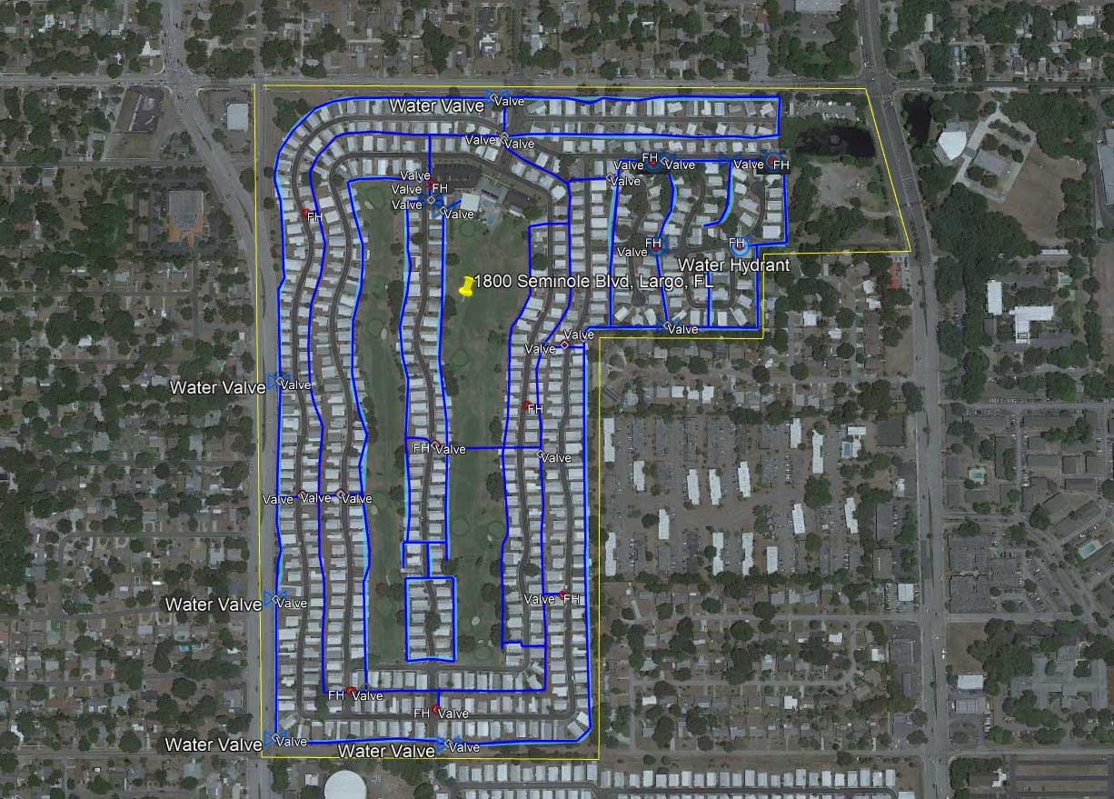
USIC’s affiliate, Blood Hound, utilizes state-of-the-art geospatial technology to map underground and aboveground infrastructure. The highly accurate, detailed maps prevent costly damages and project delays, protect your crews and community from potential safety hazards, and reduce the time and cost of future project planning.
Our highly trained technicians provide these specialized services in compliance with the American Society of Civil Engineers’ (ASCE) standards and throughout the contiguous U.S.
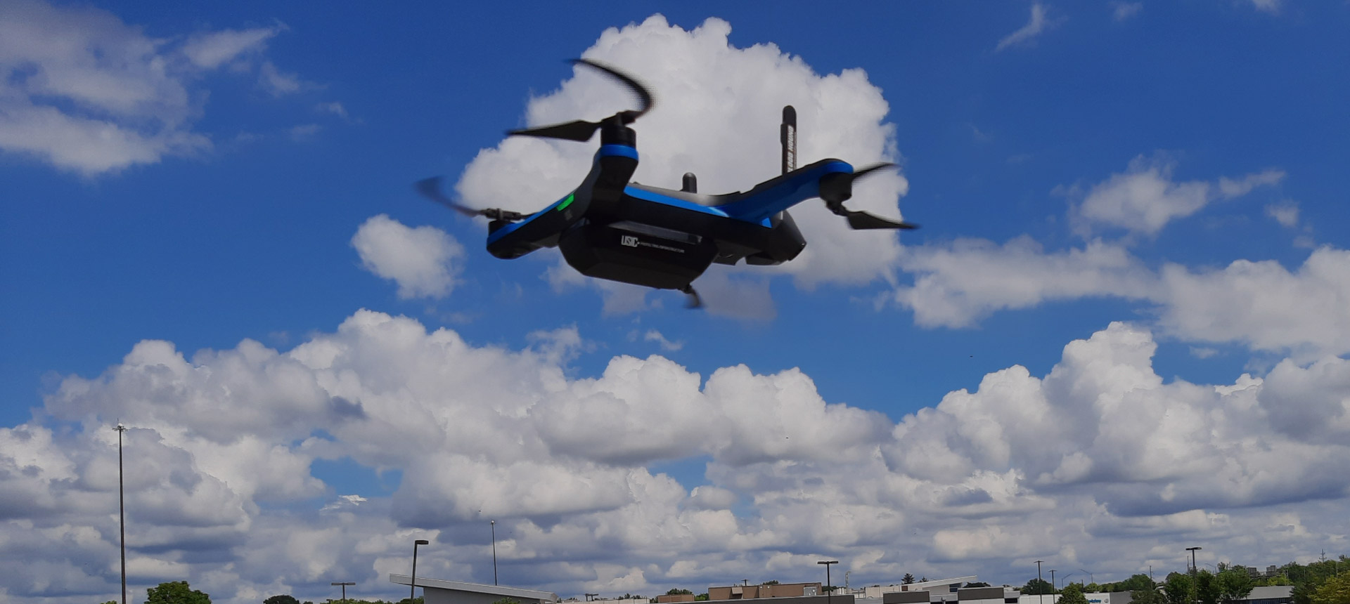
Blood Hound employs traditional GNSS equipment and Vivax-Metrotech RTK-Pro units to collect data and imagery and deploys large-scale commercial drones to generate Lidar, thermal, and ortho imagery.
Safety is always Blood Hound’s number one priority. Our standard unmanned aircraft systems include the American-made Skydio 2+ with computer vision that makes it the safest unmanned aerial vehicle, and our pilots are FAA Part 107 certified and meet all applicable state licensing and certification requirements.
Data Formats to Meet Your Application Needs
We provide collected data and imagery in the following formats:
Aerial Imagery Formats
- 2D Orthomosaic
- 3D models
- Lidar
- Thermal
GIS/CAD
- AutoCAD (.dwg/.dxf, .csv, .pdf)
- All standard GIS formats (.shp, .kml, .GeoJSON, etc.)
- Bentley (.dgn)
 WITH BLOOD HOUND, IT’S NOT JUST UNDERGROUND…
IT’S UNDER CONTROL®
Learn more about Blood Hound’s geospatial and other specialized services.
Blood Hound